New technology and the richness of history
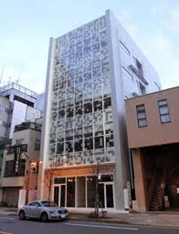
I have been thinking a lot about how to better harness new technology and new media resources to bolster interest in historic preservation and the changing architectural faces of our cities. I have written before about the potential of posting QR codes that allow visitors to easily access a rich and deep array of information that a typical sign can not accommodate. This has now been taken into the real world application of a building in Tokyo that displays QR codes on its facade that can be read by a smartphone and that accesses the building users Twitter feeds in real-time. 
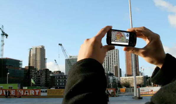
I have been very impressed with some recent augmented reality apps, like Sara, that allow you to use your smartphone and its camera and gps technologies to envision a proposed building on a site. By downloading the app you can simply point your smartphone like a camera at a specific location and along with the actual building or site that you are seeing, an image of a future project from the same vantage point will appear on your phone's screen.
I have yet to find someone that has applied this technology to envisioning the history of a city. You may have seen the history slider in Google Earth's satellite imagery that lets you scroll through historical aerial images of a city and gives a great understanding of the incremental development of a given place. If the 3D buildings in Google Earth were tagged with their date of construction, you could do the same with the 3d imagery, scrolling through the decades, watching buildings rise and fall and new construction rise again. I think this would be an amazing resource and break the veil of history that often impedes our understanding of time and place. It is so very difficult for folks to believe that the buildings and spaces around them have not always been that way. We all know this intellectually, but without visible evidence of previous eras it is impossible to really inhabit the city through time.
Beyond this capability in Google Earth, I would like a developed app that would integrate all those freely sourced 3D buildings built online and place them within an augmented reality app. Anywhere you walk through the city you could enable the app and hold up the phone and from the same vantage point, be able to scroll through hundreds of years of urban growth and transformation. The perspective on current projects that that kind of a technology would engender would radically change both architects and the public view of what our places have been and will be.
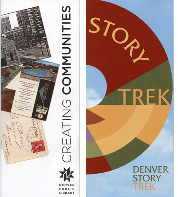
Locally there are two programs that begin to approach this kind of real time/place historical understanding using current tools. Historic Denver's Denver Story Trek allows people to choose from a range of designed tours or the ability to create your own. As you walk, bike or drive around the city, a text message prompts you to information about a given site, both its architecture and social history. Free audio files can accompany your tour and help bring to life each site.
Another program, run by the Denver Public Library's Western History & Genealogy folks, called Creating Communities, harnesses a vast digitized archive of images and information to map neighborhood histories. Their work consists of a Google map containing building histories and an iPhone app, Creating Communities, that allow you to search your neighborhood and access information about its city while also on the move.
Can we expect to see my proposed app some time soon? Well, there's not much money to be made in preservation, so unless there's so nice grant out there for a pilot project, probably not. If you know of such a thing, let me know. If you have further thoughts on how to apply this technology to architecture and preservation issues, I would love to hear that as well.


